
A 30-Year Forest Protection Programme
The revised project design establishes a 1,006.589-hectare accounting boundary in the Lojing Highlands, Gua Musang, Kelantan. The proposed REDD project is designed to avoid planned agricultural conversion and conserve a montane and upper-montane forest ecosystem from 2026 to 2055.
The project remains subject to the applicable validation, verification and registration processes. Projected carbon benefits and Forest Carbon Units are estimates, not issued credits.
How Carbon Integrity Is Built
Define
Confirm land status, the final accounting boundary and the credible baseline scenario.
Measure
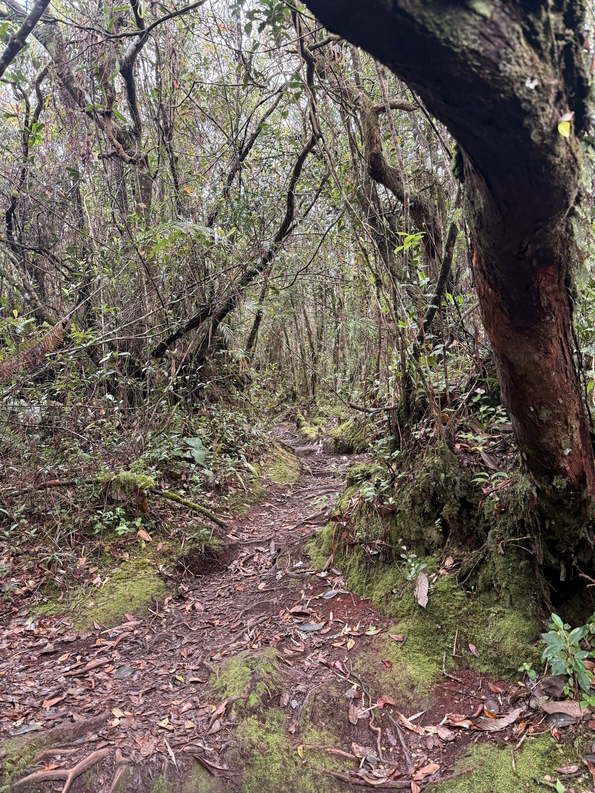
Establish plots and record tree diameter, species, deadwood, vegetation, litter and soil.
Analyse
Combine field inventory, laboratory results, elevation strata and spatial data.
Account
Quantify eligible carbon, removals, leakage, uncertainty and buffer deductions.
Monitor
Use satellite evidence, permanent plots, ground checks and stakeholder reporting.
Verify
Subject claimed outcomes to independent validation and verification before issuance.
Evidence from the Lojing Field Programme
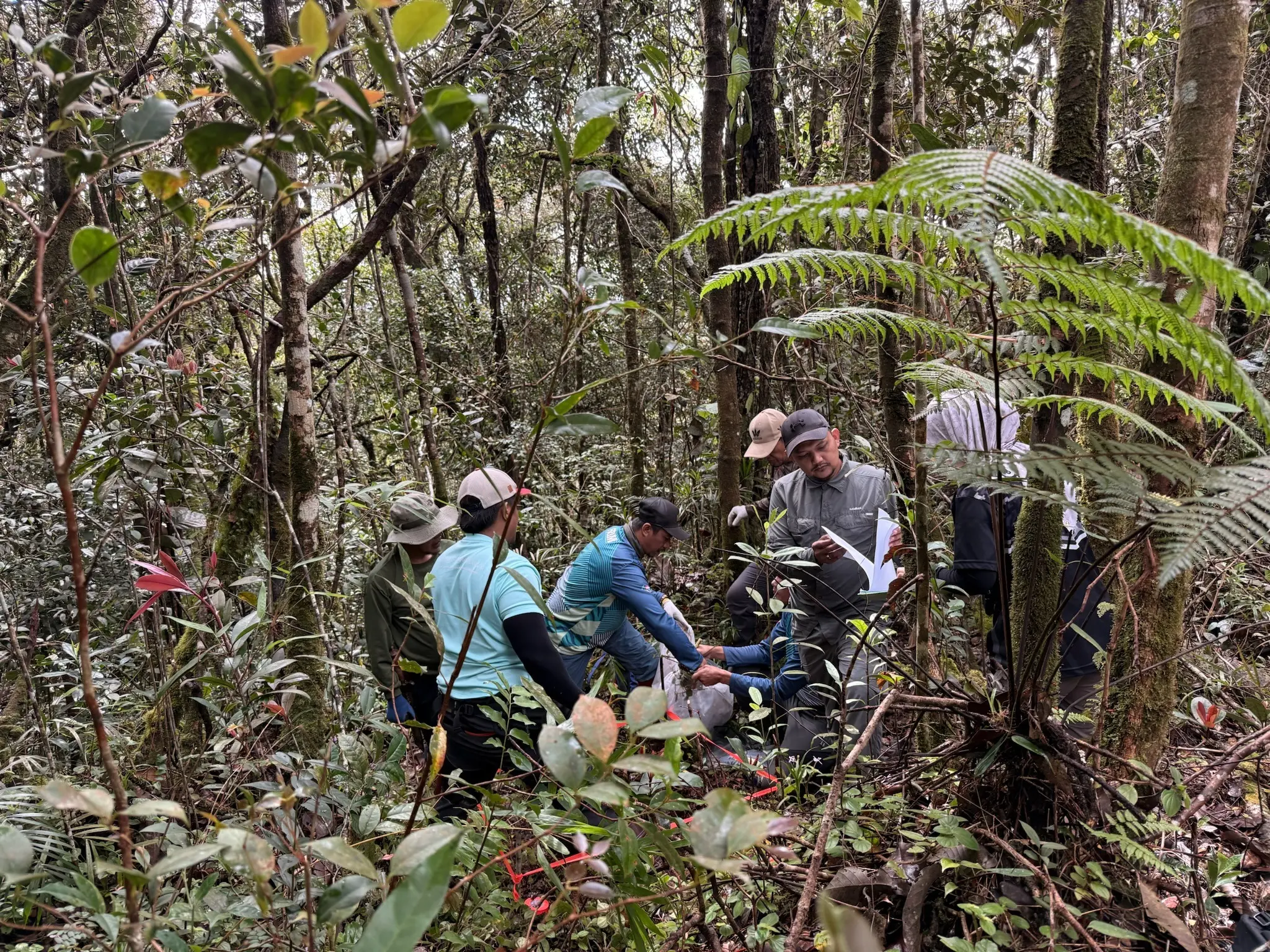
12 Sampling Plots
Systematically distributed plots were assessed during February 2026 fieldwork.
Elevation-Based Strata
The forest was analysed across three elevation bands to reflect ecological and carbon-density differences.
Multiple Carbon Pools
Aboveground biomass, roots, deadwood, non-tree vegetation, litter and soil were documented.
Spatial Monitoring
Project mapping and remote sensing support boundary, baseline and disturbance monitoring.
Conservative Deductions
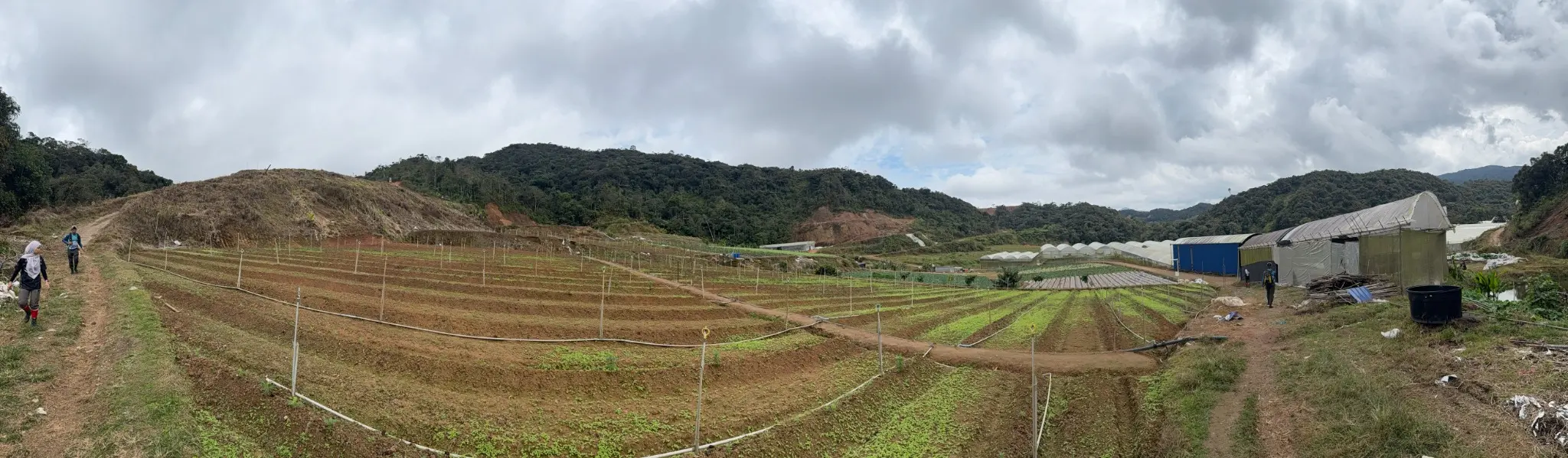
The revised design applies leakage and non-permanence buffer deductions to projected benefits.
Community Safeguards
Stakeholder mapping records nearby community interests while confirming no Orang Asli settlement within the final accounting boundary.
Current Design Estimates
The revised project design estimates 705,657.38 tCO₂e of eligible forest carbon protected and 340,509.68 tCO₂e of removals over 30 years, producing a projected gross benefit of 1,046,167.06 tCO₂e.
After the design’s conservative leakage and buffer deductions, the projected net result is 602,592.23 Forest Carbon Units over the proposed period. These figures remain projections pending validation, monitoring and verification.
- 20% leakage deduction in the revised design
- 28% non-tradable buffer contribution
- Monitoring before each verification event
- Baseline reassessment at defined intervals
- No public claim of issued FCUs before formal confirmation
Corporate & ESG Relevance
Conservation Financing
Connecting credible private participation with long-term forest protection.
Climate Value
Building measurable avoided-emission and forest-removal outcomes.
Biodiversity & Water
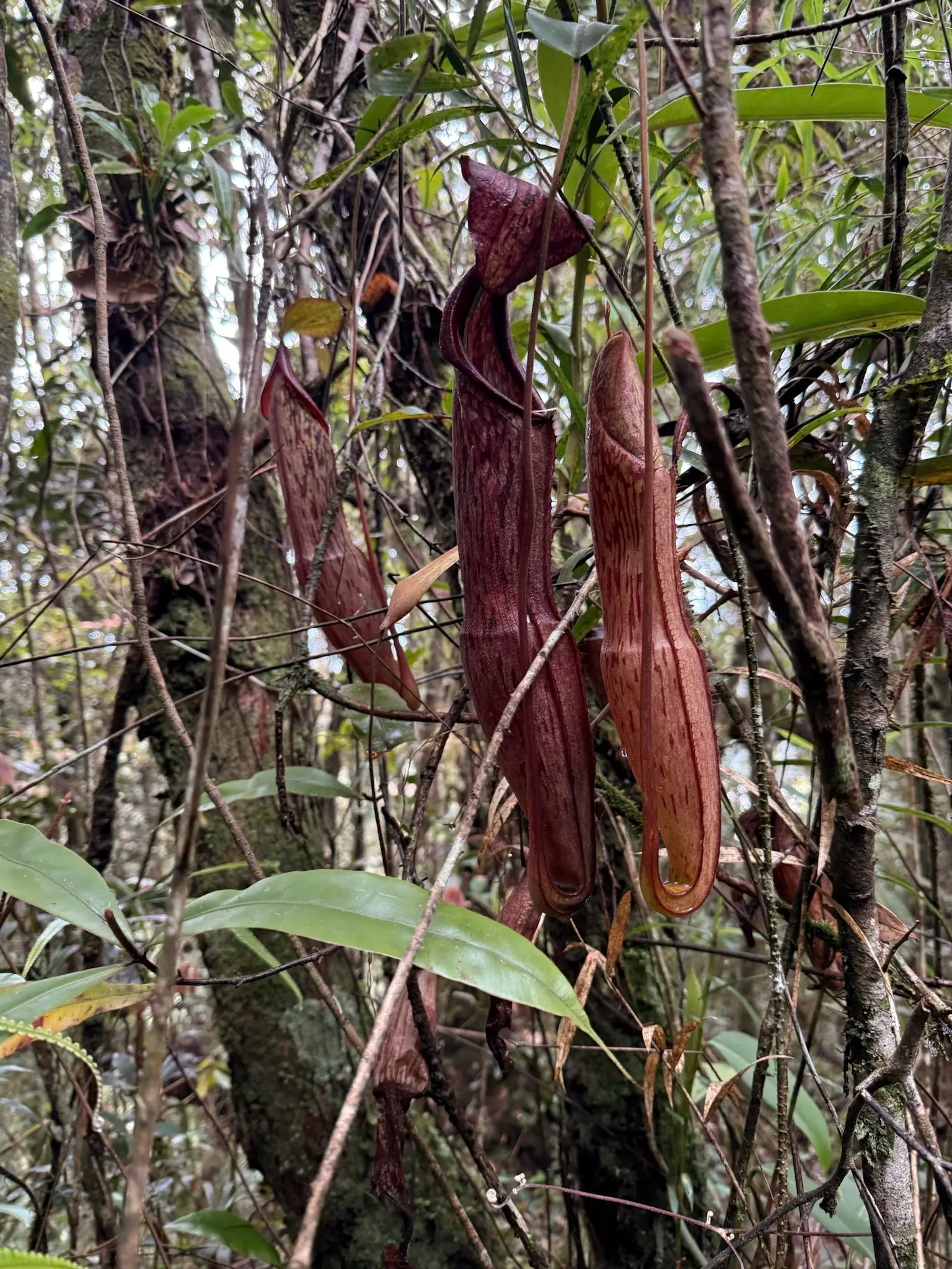
Protecting intact highland habitat and its wider ecological functions.
Transparent Reporting
Maintaining field, laboratory, spatial and monitoring evidence for independent review.