
Turning Site Data into Practical Information
Accurate mapping helps project teams understand the landscape before field activities begin.
By combining digital data with site inspections, Layang Kaji can plan operations more carefully, monitor project progress and maintain clearer project records.
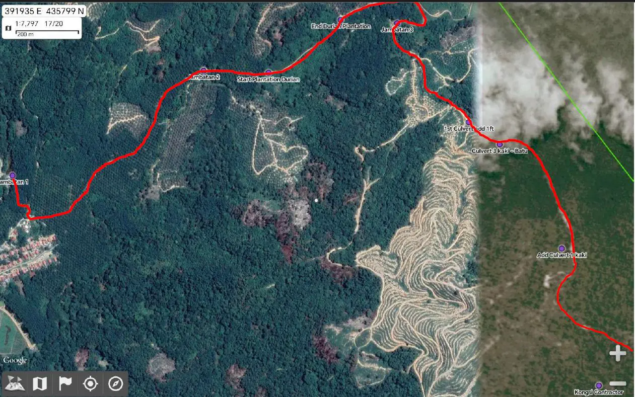
How We Use GIS & LiDAR
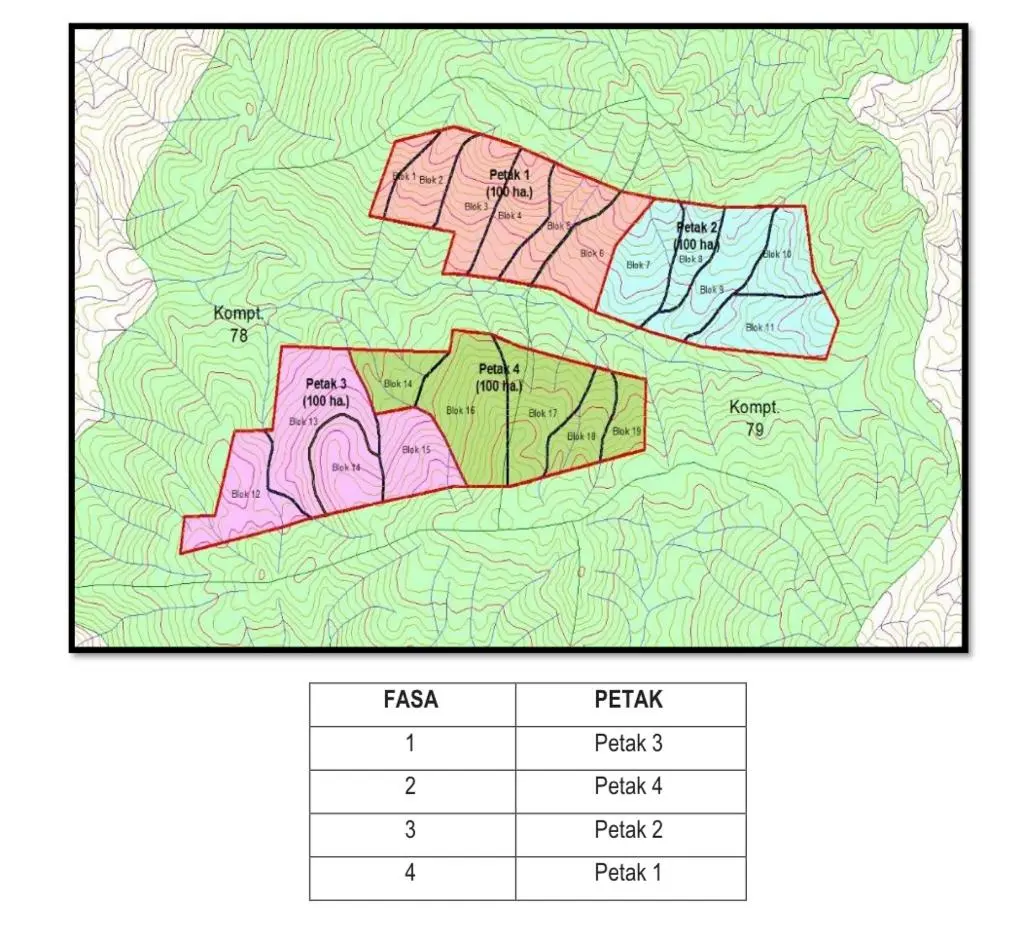
Project Boundary Mapping
Mapping approved project areas, forest compartments and operational boundaries.
Terrain Assessment
Reviewing elevation, slopes, rocky areas and other physical site conditions.
Access-Route Planning
Supporting the planning of roads, bridges and access routes required for project activities.
Forest & Plantation Monitoring
Tracking site preparation, planting areas, reforestation progress and operational activities.
Aerial Observation
Using aerial imagery to obtain a broader view of forest and plantation areas.
Field Data Integration
Combining digital maps with photographs, site inspections and field measurements.
Supporting Every Stage of Project Delivery
GIS, LiDAR and aerial information support:
- Forest concession planning
- Selective timber harvesting
- Access-road and infrastructure planning
- Forest plantation development
- Replanting and restoration
- Terrain and rocky-area assessment
- Environmental monitoring
- Carbon and conservation fieldwork
- Project reporting and documentation
From Mapping to Field Verification
Collect
Gather available maps, aerial imagery, LiDAR information and project records.
Map
Define project boundaries, compartments, access routes and key site features.
Assess
Review terrain, slopes, vegetation and operational constraints.
Verify
Compare mapped information with actual field conditions and site inspections.
Monitor
Track project progress, planting activities and changes within the operating area.
Report
Prepare maps, photographs and supporting information for management and project reporting.
Understanding the Ground Before Work Begins
Terrain information supports safer and more practical operational planning.
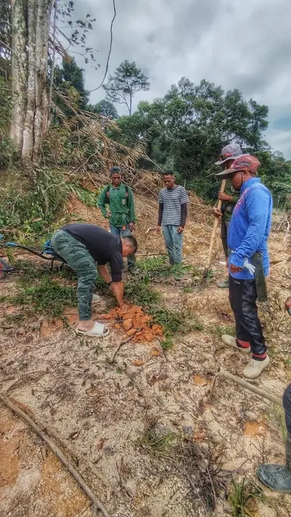
At the Ulu Slim Forest Plantation, aerial imagery and site observations were used to review access routes, infrastructure requirements and areas affected by rocky terrain.
This information supports decisions relating to road preparation, bridge construction, planting readiness and future project phases.
Tracking Forest Recovery
Mapping and aerial observations support the monitoring of replanting and plantation development.
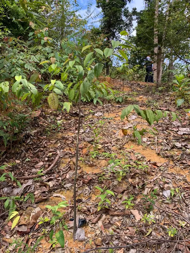
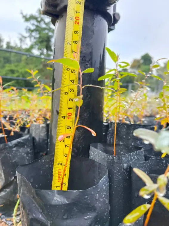
- Prepared planting areas
- Nursery and seedling locations
- Completed and pending work areas
- Terrain constraints
- Reforestation progress
- Areas requiring follow-up inspection
Supporting Measurable Forest Information
GIS and field data also support Layang Kaji’s conservation and forest carbon activities.
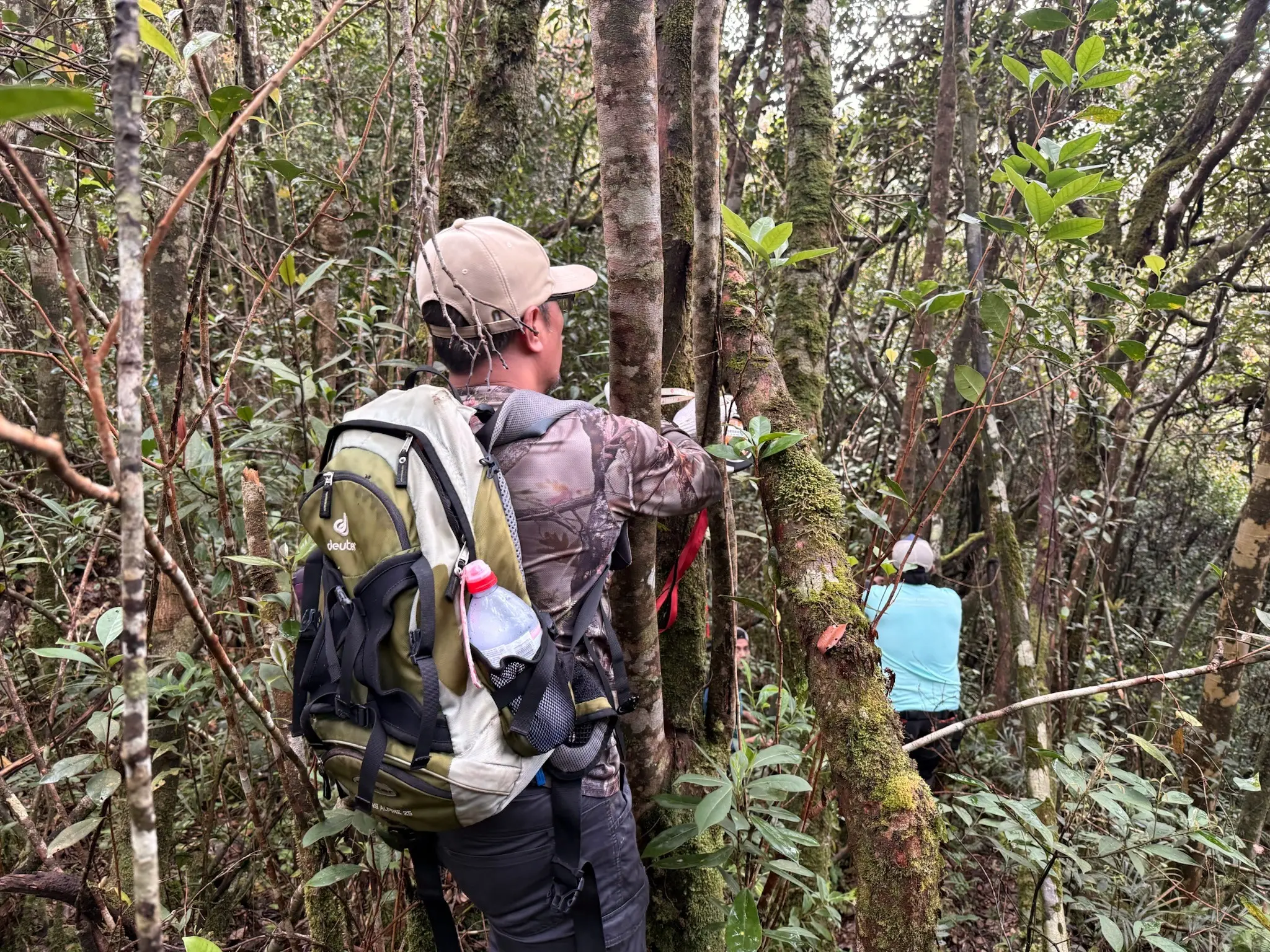
For the Lojing REDD+ pilot project, project mapping is supported by field activities such as sampling-plot assessment, tree DBH measurement, dead-tree measurement, soil sampling, site documentation and forest-condition assessment.
This information contributes to the development of forest carbon baselines and monitoring plans.
Clearer Oversight Across Project Areas
Improved Planning
A better understanding of terrain and site conditions before operations begin.
More Accurate Mapping
Clearer project boundaries, compartments and operational areas.
Better Field Coordination
Maps and aerial information support communication between management and site teams.
Stronger Documentation
Visual and mapped records strengthen progress reporting and audit preparation.
Continuous Monitoring
Project areas can be reviewed throughout planning, implementation and restoration.
Digital Information. Practical Execution.
Technology is most effective when combined with field knowledge.
Layang Kaji integrates GIS, LiDAR, aerial imagery and site inspections with practical operational experience to support responsible and informed project delivery.