← All projects
Carbon Project · Pilot project · Validation documentation in progress
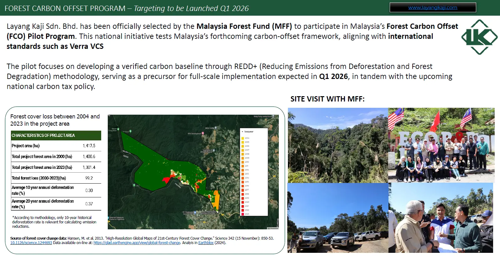
Lojing REDD+ Forest Carbon Offset Pilot Project
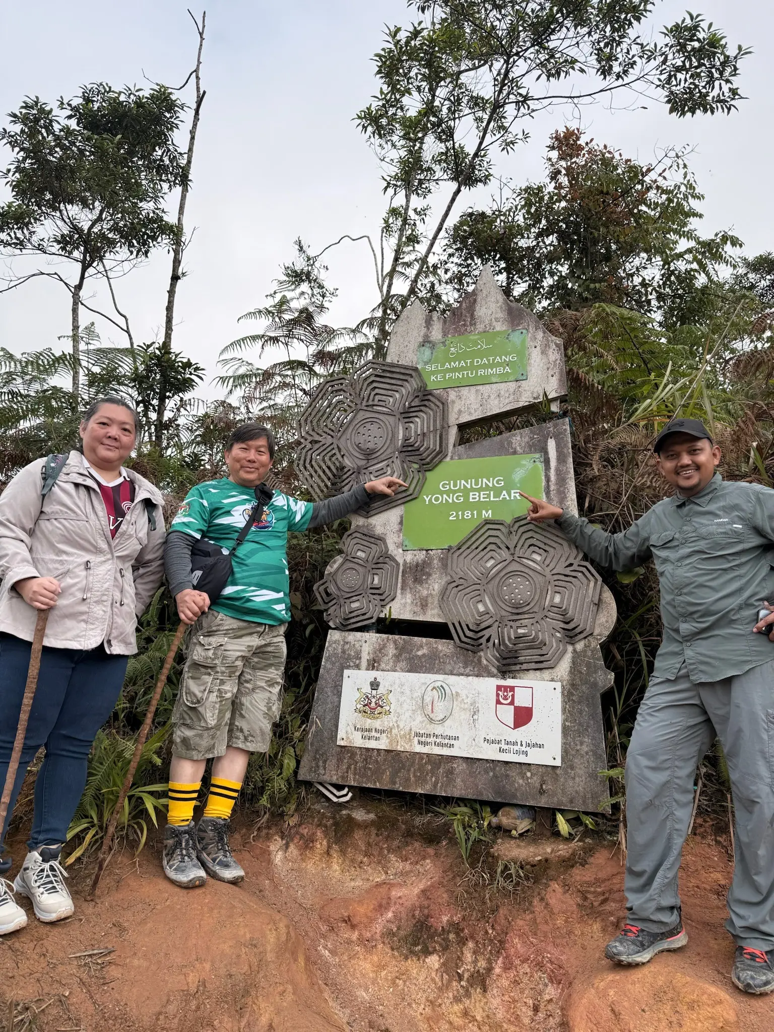
Lojing Highlands, Gua Musang, KelantanLocationLojing Highlands, Gua Musang, Kelantan
Partner / project roleLayang Kaji Sdn Bhd · FCO pilot project proponent
Project typeREDD · Avoided Planned Deforestation
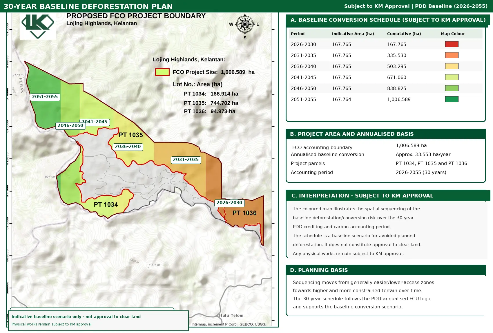
Project scale1,006.589-hectare final FCO accounting boundary
Project figures
Profile data at a glance
Project overview
Protecting a living highland carbon reserve.
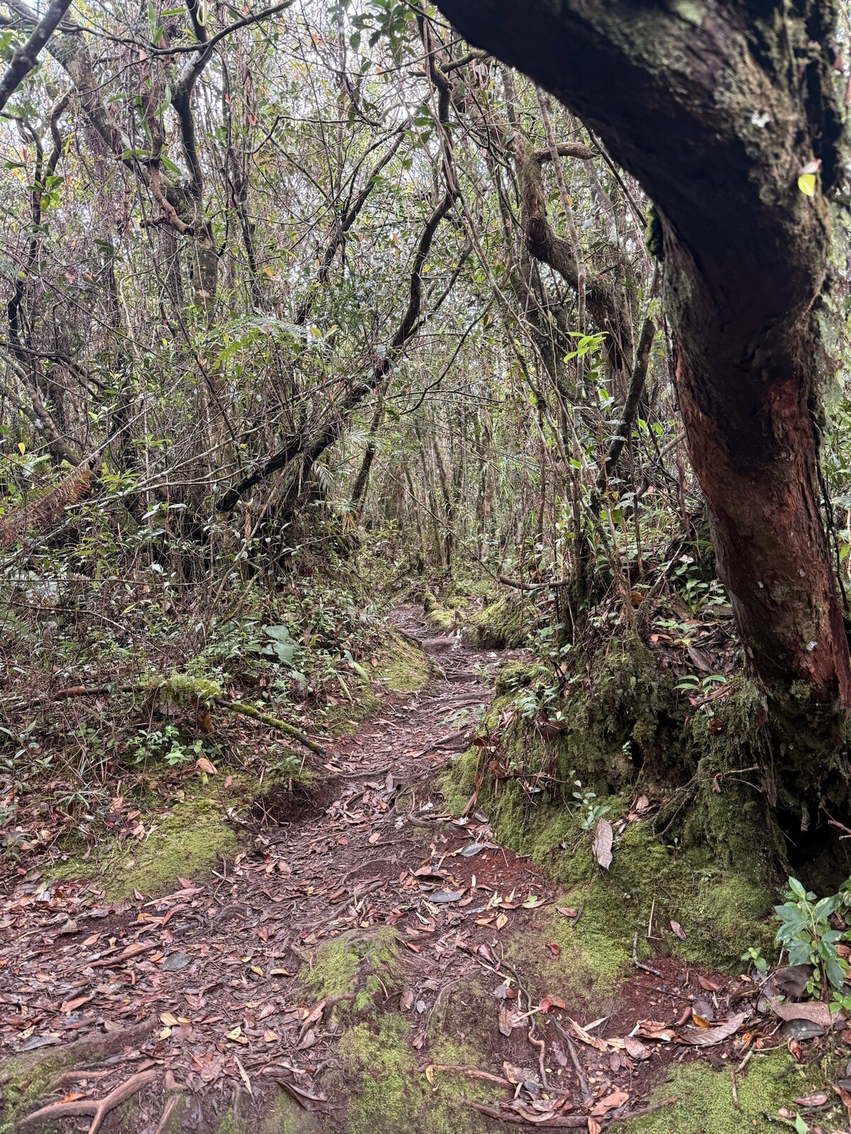
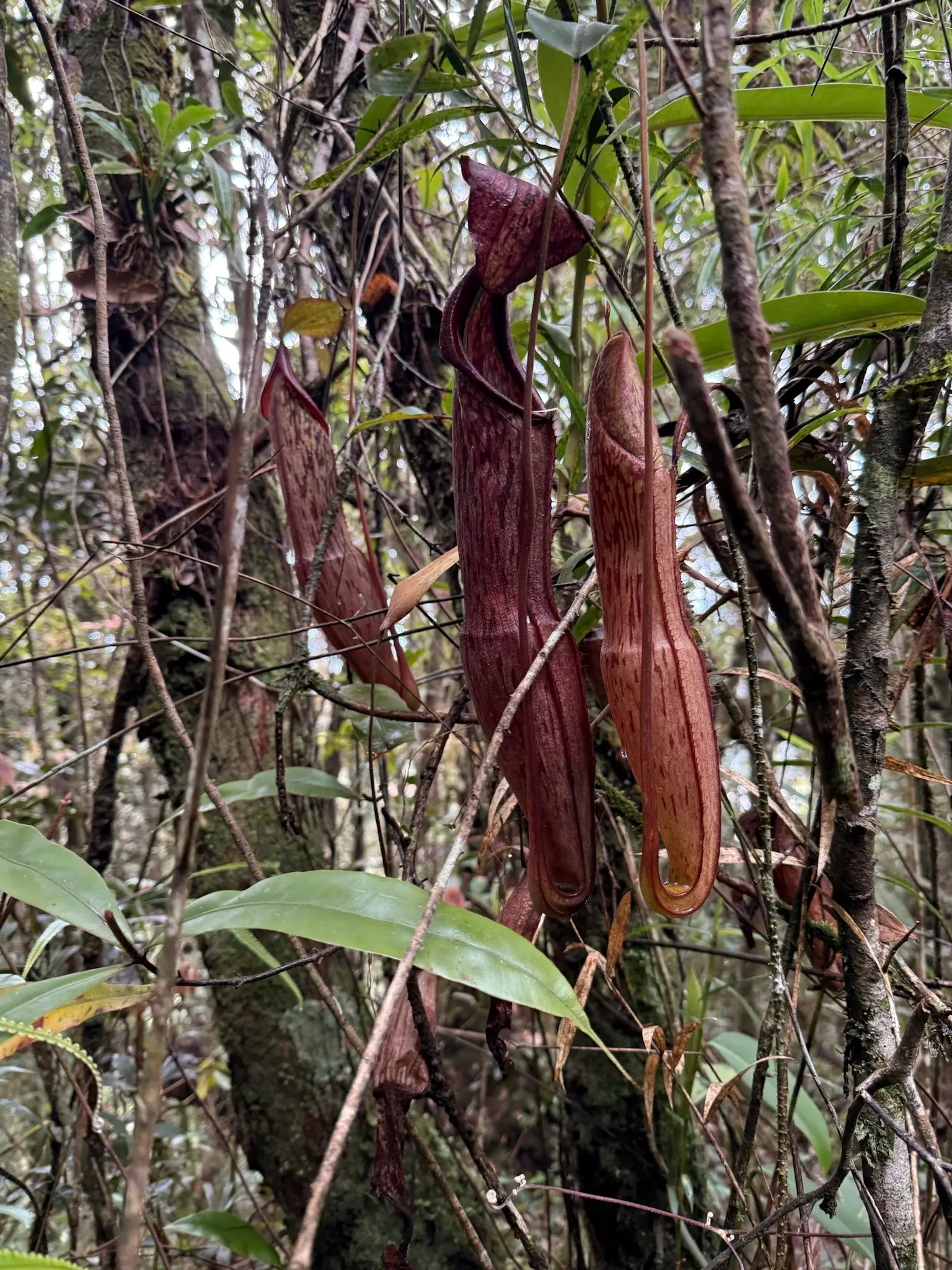
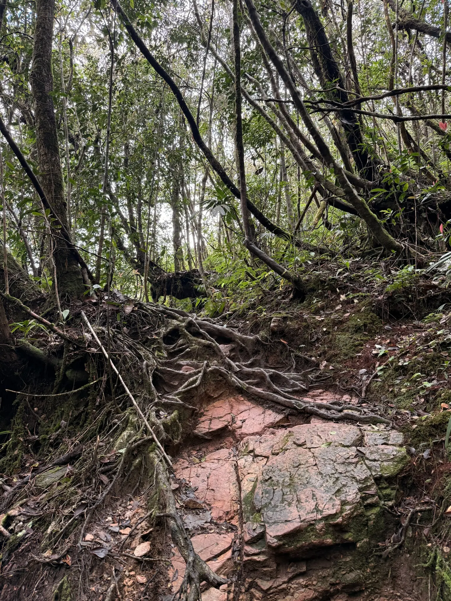
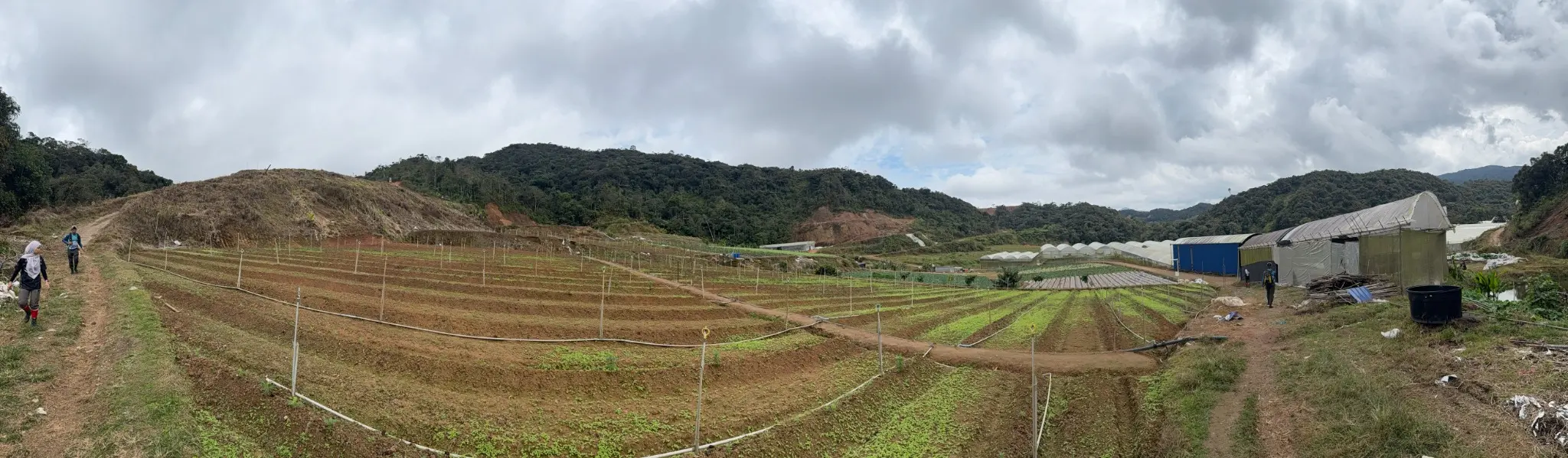
The latest project design documentation defines a final Forest Carbon Offset accounting boundary of 1,006.589 hectares within the Lojing Highlands. The project applies a REDD Avoided Planned Deforestation approach to conserve forest that otherwise has a legally documented agricultural-conversion baseline.
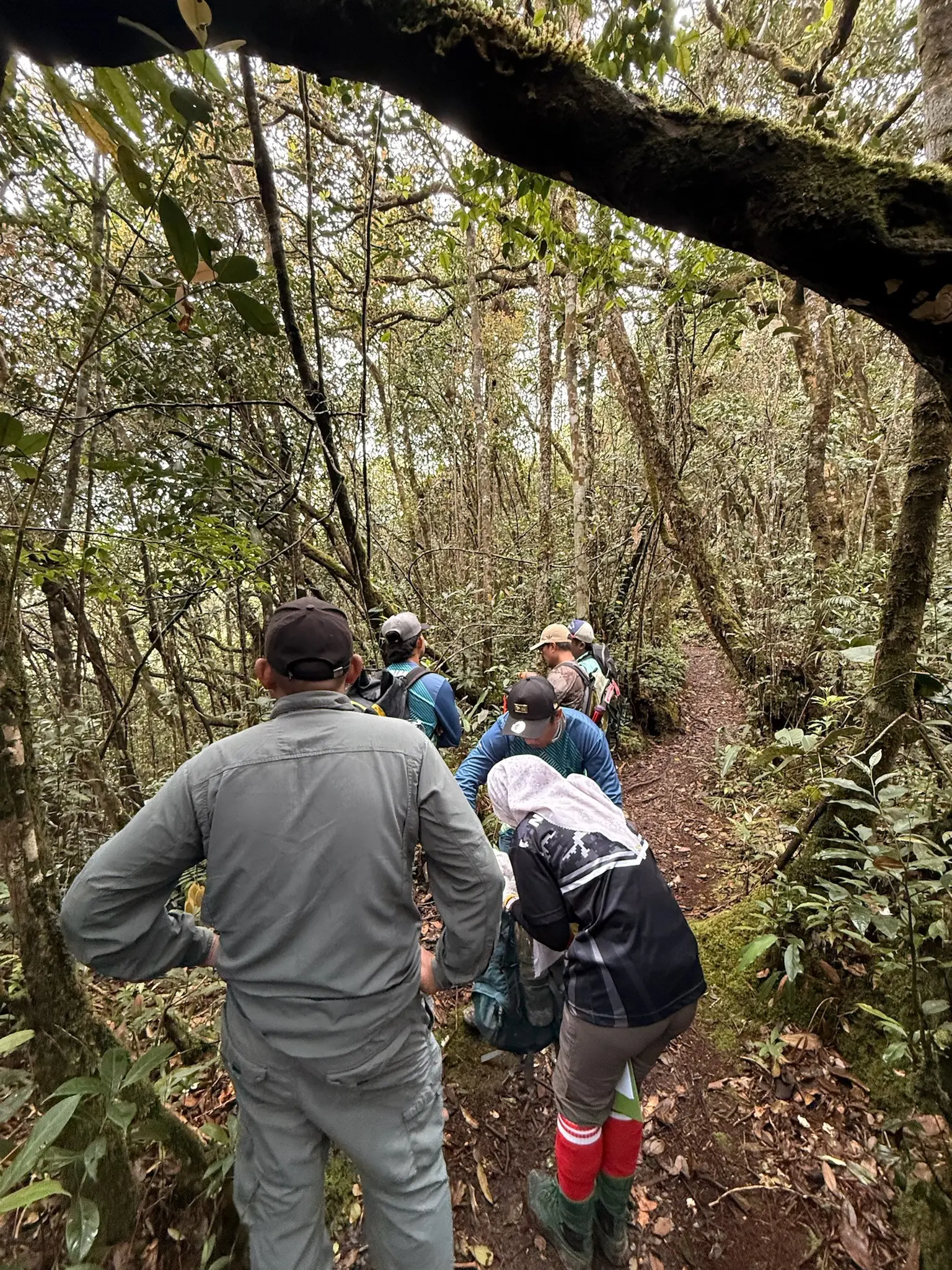
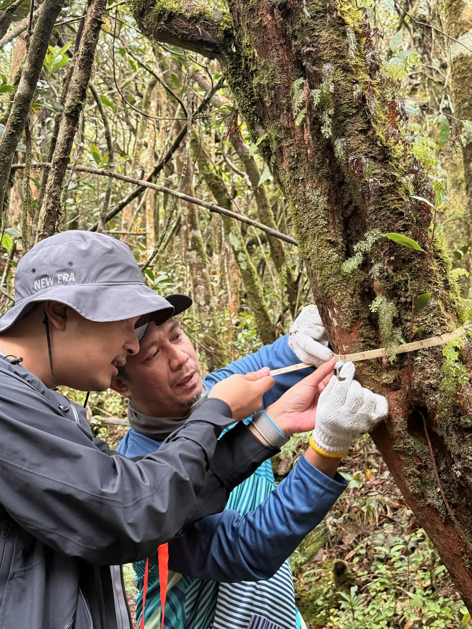
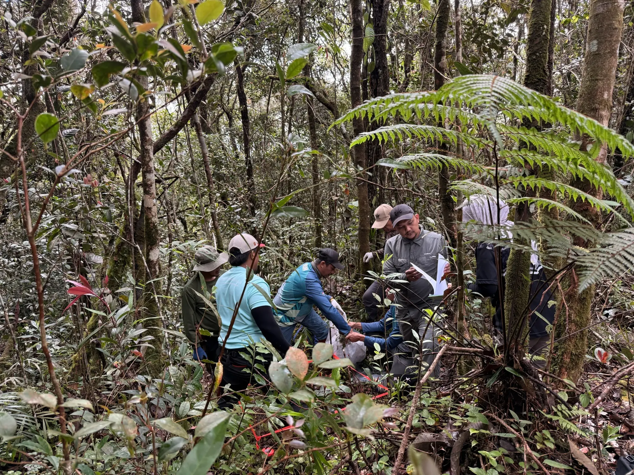
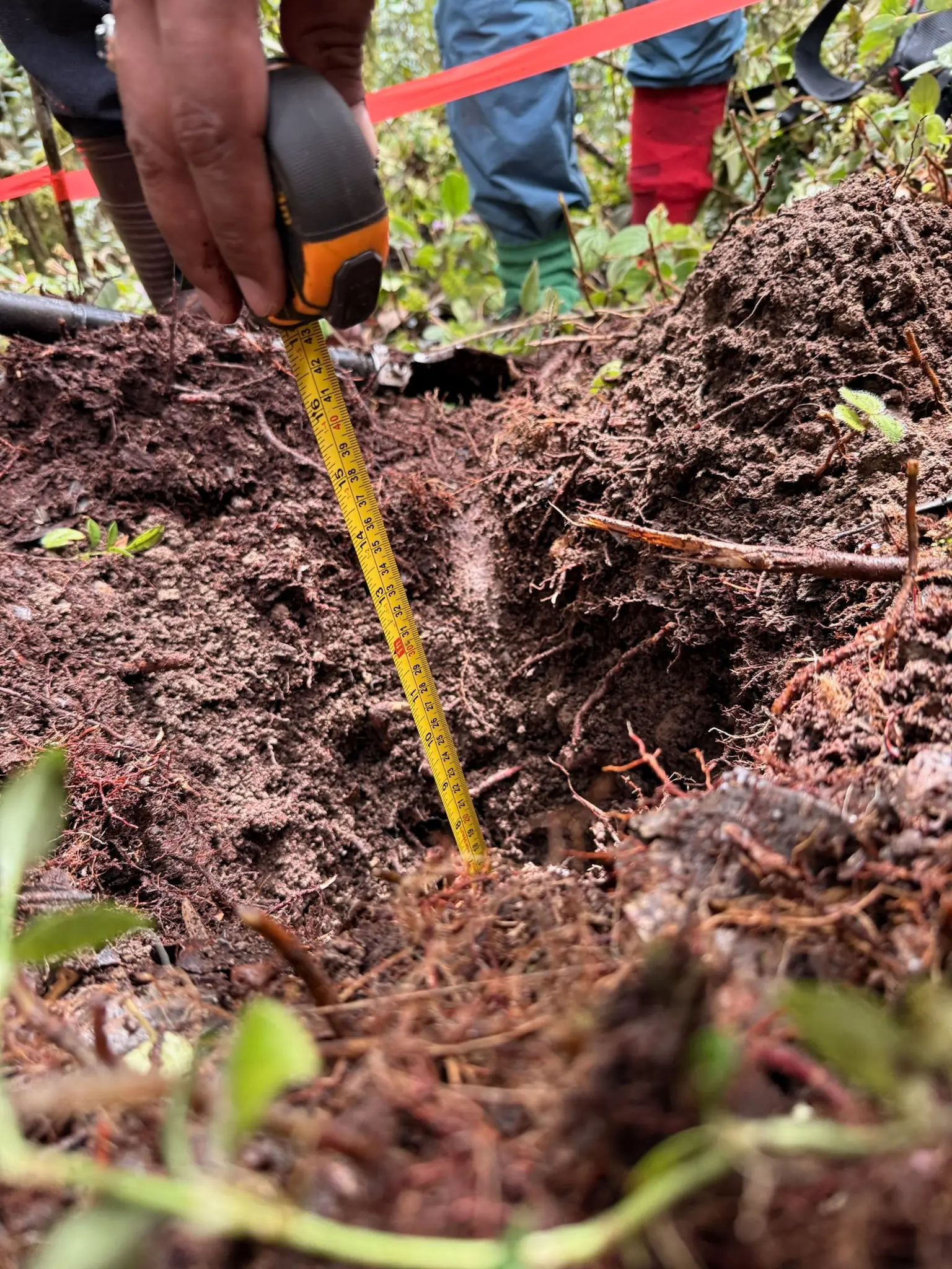
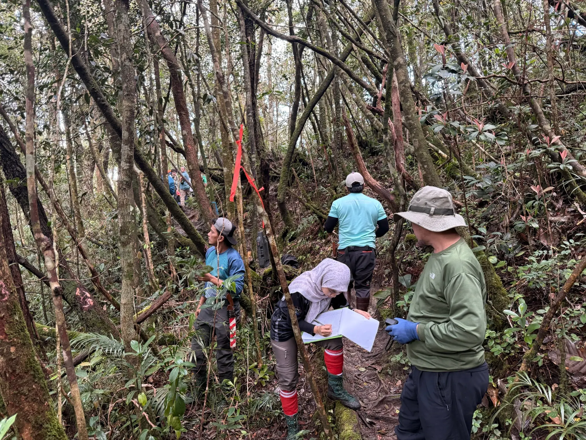
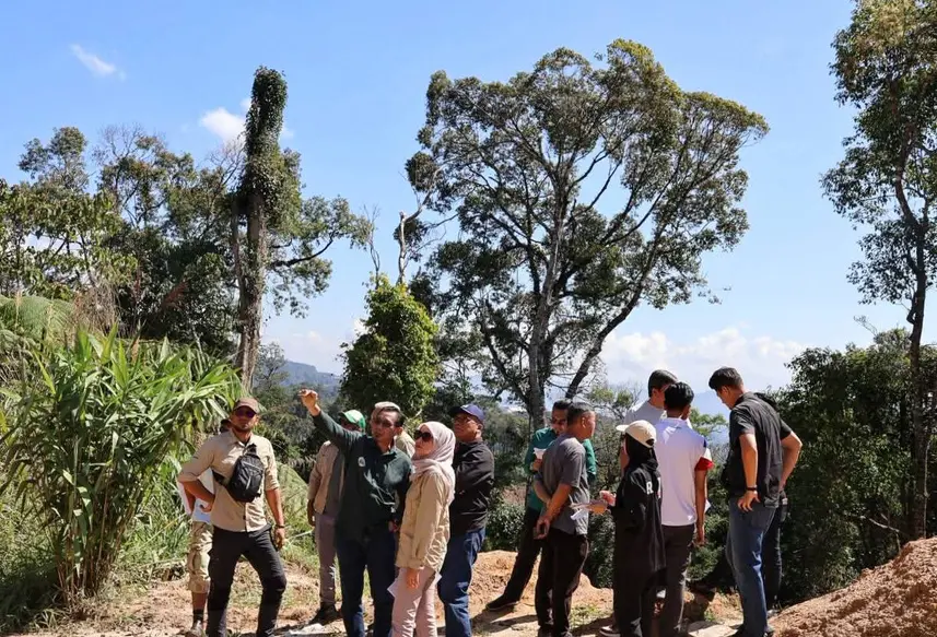
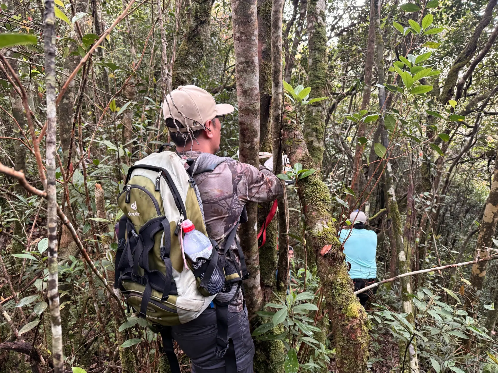
Carbon fieldwork was carried out in February 2026 using 12 systematically distributed sampling plots. Teams measured living trees, roots, deadwood, non-tree vegetation, litter and soil, supported by spatial mapping, laboratory analysis and documented quality controls.
Current project figures are projections from the revised project design submitted for validation. Forest Carbon Units are not presented as issued or verified until the applicable independent validation, verification and registry processes are completed.
Key highlights
Project priorities
- 01Montane and upper-montane forest ecosystem
- 02REDD Avoided Planned Deforestation methodology
- 0330-year project period from 2026 to 2055
- 04Field inventory completed across 12 sampling plots
- 05Remote sensing, ground surveys and laboratory analysis
- 06Leakage, risk and non-permanence safeguards
- 07No Orang Asli settlement within the final accounting boundary
- 08Independent validation and verification required before FCU issuance
Scope of work
Activities on the ground
Forest Inventory
Tree diameter and species recording across nested circular plots, together with deadwood and non-tree vegetation measurements.
Soil & Laboratory Work
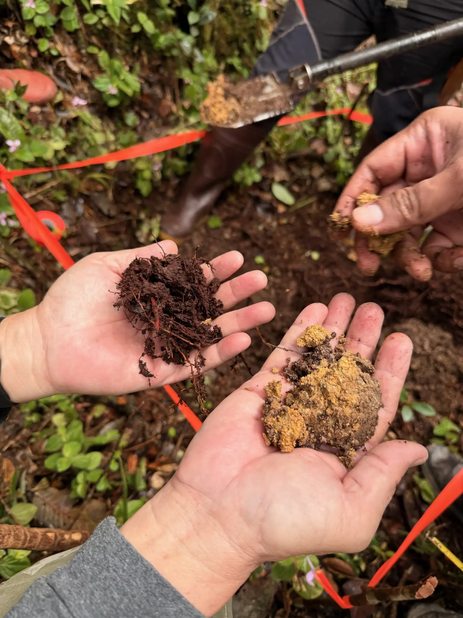
Field collection and laboratory analysis of litter and soil samples to document additional ecosystem carbon pools.
Spatial Baseline
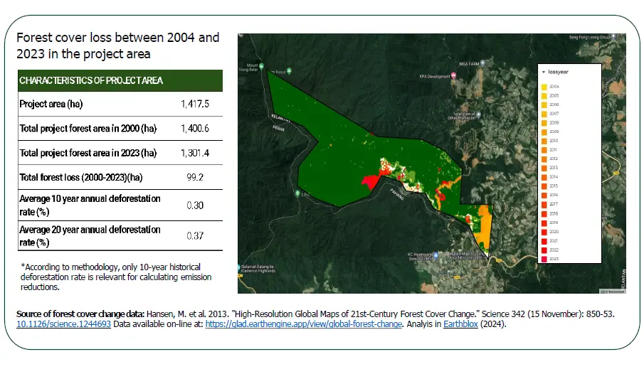
Boundary demarcation, elevation stratification, remote sensing and development of a 30-year agricultural-conversion baseline.
Carbon Accounting
Quantification of eligible above- and belowground biomass, projected removals and conservative leakage and buffer deductions.
Risk & Additionality
Assessment of conversion risk, financial additionality, natural disturbance, access, illegal extraction and activity displacement.
Monitoring, Reporting & Verification
A long-term framework combining satellite monitoring, permanent sample plots, ground checks, stakeholder reporting and independent verification.
Project gallery
From the project